After breakfast, we drive 5 hours to reach to the Barabise, the starting point of our trek. It is lies on Araniko Highway – the 114 km-long highway which connects the capital city Kathmandu to the Chinese border in the north. After a few hours of rolling green hills and checkpoints we arrive at Barabise Overnight we will stay on camp.


The large trail climbs steeply out of the village into open paddy fields. The paths are quite busy, and the trail is studded with villages and houses. Paddy fields and terracing cover the hills as far as the eye can see. Overnight at camp.


After breakfast, we start our trek. The trail is steep but well-maintained and we spend most of the day climbing rough-hewn staircases. The path winds around many valleys and buffs, and features rope-bridges slung over dramatic waterfalls. The scale of the surrounding scenery is immense – great rolling hills, green and cultivated from top to bottom, but higher that much of the Alps. The valleys dive steeply to fast flowing rivers, and landslides are common. We continue up the trail towards the Thulo Thingsang, finally reaching it. We will stay overnight at camp.


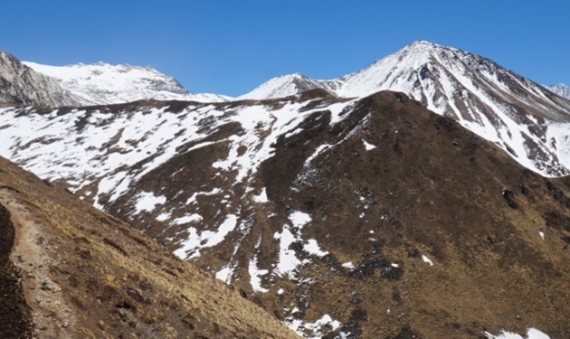
This day the trail heads steeply upwards towards the Gompa (monastery) above, passing many decorated Chhotaara (stone resting places) and Mani (prayer) walls. As we head towards the Tisang La pass (3320m) which will take us into the Amatal valley. The pass is in a pleasantly cool area of pine forest, and we have an excellent view of the next part of our trek. On the horizon we can also see our first real himal (snowy mountain). We will stop for a lunch at the river bank. Then the path dives down rapidly into thick steamy jungle. Eventually we reach the village of Rhutang via a covered bridge, and carry on down the river.
After 300m climbing, we reach a temple near Bigu Gompa. It is a lavishly painted and decorated Buddhist temple lit with flickering oil lamps. People wander in to admire the alter-wall of the temple and pray. Overnight at camp.


In the morning, we visit the temple. And start our trek down to the valley. We wander down the Sangawa river, following the occasional arrows that the sherpas leave behind them. There are large pine plantations here, grown to offset deforestation. The path crosses some impressive suspension bridges as it weaves its way up the valley reaching Tselaphu. Overnight at camp.


We are heading for the Bhote Khosi river valley today, just below its junction with the Rolwaling valley, which is far below us. It is deadly cold, and is full of boulders and pebbles of every type of rock pounded smooth and round by its immense force.This is followed by a gruelling descent through large sprawling villages with lush fields to the river. We cross over and climb steeply up the other bank towards the trading town of Simigoan. Overnight at camp.


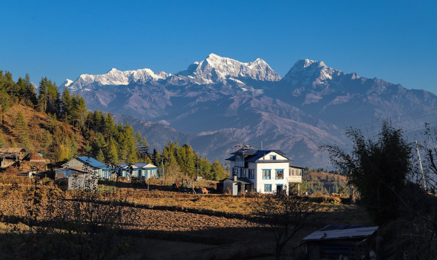
Today also we head steeply upwards once more, following a well made but green and greasy path along the steep valley side. There are many staircases and chhotaara, and the trail is relatively busy with traiders headed to and from Simigoan. The trail follows the river bank. As the valley narrows, we cross the suspension bridge over the river. We are soon rewarded with superb views of Gaurishankar which rises up from the Rolwaling valley right into Tibet. A steep climb takes us to the Sherpa village of Simigaon, spread on the terrace of the mountainside. Overnight at Simi Gaon.


We have a lot of climbing to do today to reach Shakpa, where we will finally be in the Rolwaling for proper. We climb some 600m on more stone steps. We pass by a few more Sherpa settlements. On a clear morning the views of Gaurishankar above the Rolwaling Valley is fascinating. From the ridge top at Simigaun , we continue towards the Rolwaling Valley. The trail climbs a rocky, wooded ridge with beautiful pine forests. The trail trundles along the banks of the Rolwaling Chhu river in low-lying woodland. Overnight at Gyalchhe.


The trail is easy and beautiful as it weaves up the valley, often crossing the roaring Rolwaling Chuu on dramatic cable bridges. The valley sides run steeply from the river straight up to the peaks at the sides up to 4000m above. We walk through picturesque autumnal woodland. Our trail ascends uphill through different varieties of plants and Rhododendron trees. Continue left bank of the Rolwaling Khola. Continuing along the deep river valley, we arrive at a branch river from Gaurishankar. Enjoy the wonderful views of the Gaurishankar. The trail rises further until we come across an easy and relatively flat terrain. Finally, we arrive at the Sherpa village of Beding . It is a jumbled cluster of brighly-painted houses running right from the river bank up the valley sides.


It’s only a short walk from Beding to Na, the highest settlement in the Rolwaling. Soon after we leave Beding, the trees disappear and the vegetation consists of scrubby Juniper bushes, a small low-lying and very fragrant rhododendron and other evergreen shrubs. We pass across the summer village of Beding, several yaks grazing and people busy in their fields of buckwheat and barley.
Na can be spotted over a mile off, due to the large numbers of walls surrounding its tiny fields. It is a seasonal town – in summer, it is occupied and the animals are driven up to graze on the rich grass and to stop them eating the crops below. The crestline formed by the 6000ers such as Chekigo, Bamango, and Konyklemo rise on the immediate left of the village. We arrive at a monastery believed to be a meditative place of the Buddhist Guru Padma Sambhava. Walking along the valley floor, we finally reach the summer village of Na surrounded by potato fields. Overnight at Na.


Today, we take a rest at Na for acclimatization. Na commands dramatic views of Tsoboje and Kang Nachugo, both near-7000m mountains looking incredibly steep so close up. Tsoboje in particular looks unclimbed from this angle, and is covered with near-vertical fluted ice right to the summit. The thin air (we are at 4183m), fragrant vegetation and whispy cloud give Na a surreal edge. Clouds zoom past from down the valley, and by about 2pm it becomes cold and overcast.


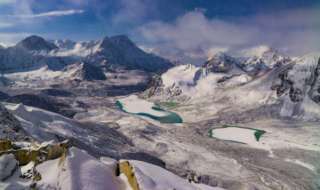
At first our trekstarts through the leveled plane and gradually ascend to witness the Himalayan Lake filled with the chilling water of the glaciers. The views of Menlung and Tibetan Side Mountains add glory to the unfolding vista. The ground is sandy, but strewn with gigantic square boulders ejected from the adjacent peaks, earning the area the name ‘the lorry park’. The path follows a surprisingly green and picturesque little valley between the lake and the east valley side proper. We trek along the right bank of the river and then cross the river to climb up the rocky lateral moraine of the Glacier. Higher up, we reach the moraine barrier that holds back the Tsho Rolpa lake. We then walk to Tso Rolpa for the night.


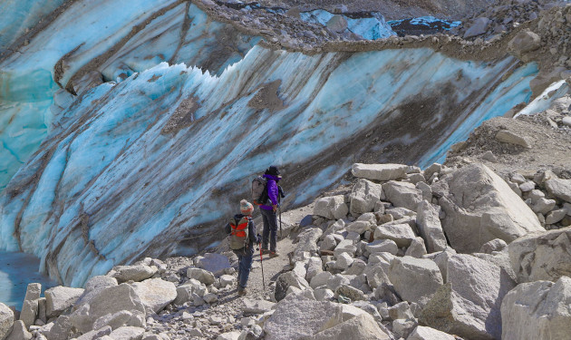
Early morning trek to head toward Trakarding glacier. Walk past the glaciers throughout the day and explore the beauty of the surrounding. The trail heads back west and drops dangerously steeply to a sandy karka. The trail plunges over the ludicrously steep edge of the glacier’s trench and winds down nasty loose material under precarious cliffs. The trail will still be ascending through some rock climbing and a gradual walk on the glacier moraine, occasionally passing rocks overhangs. Overnight at camp.


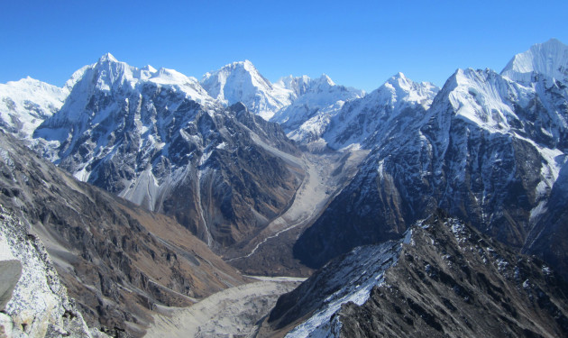
The walk follows high slopes above the glacier to avoid the lower section, but further up we have to trek along the centre on the hard rocky glacier. Steady walk leads us to the lowest point of the icefall and then climbing to the easiest point to gain the Drolambau glacier. Here we will be surrounded by superb high mountain scenery. Continuing further downhill, we camp at Tashi Lapcha Pedi. Continue trekking to Tashi Lapcha Pass (5755m). From the pass, the view of senior Khumbu peaks is magnificent. Some hundred meter downhill trek under overhanging rock, we camp at a superb location, with magnificent sunset views. Overnight at Thashi Lapcha.


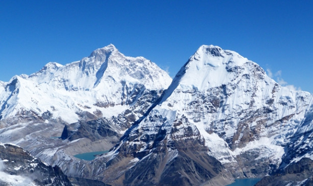
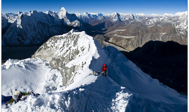
We climb again to the neck of Tashi Lapcha and from there we start the ascent of Pachermo. The snow slopes lead us to the final ridge, sometimes requiring fixed ropes. From the Pachermo summit, enjoy the fantastic views of the Khumbu peaks including Everest, Makalu among others. Descend to Col then to Thangpo. The Pachermo ascent takes about 5 to 6 hrs and then another 3 to 4 hrs descend takes us to Thangpo.Overnight at Thangpo.


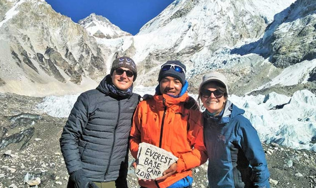
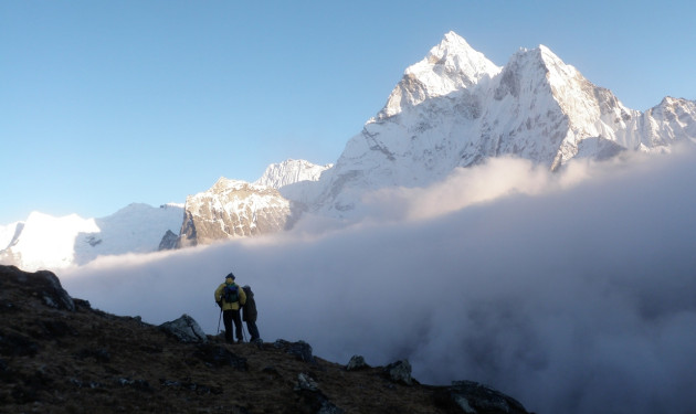
Today you will be experiencing a bit easy walking, the walk from here will be enjoyable most of the way to Thame. The trail clings to the steep rocky side, passing right under the rock chute. A gradual descend brings us to Thame Village, the first hint of civilization since Beding. There is a very old and interesting Monastery at the upper end of the village. Now you have a glimpse of first really good views of the great peaks of the Khumbu including Mt Everest, Nuptse, Lhotse, Ama Dablam, Thamserku and Kusum Kangaru.


It’s a short day from Thame to Namche. At Thame, the old trade route over the Nangpa-la into Tibet branches North, following the Bhote Koshi, which incidentally is the 2-3 river so named on this trek. The trail descends gently at first and then steeply to a bridge over the river Dudh Koshi at Phunki Tenga. Passing by several villages and numerous teashops, the trail ascends steeply to Sanasa where local Sherpa people sell the Tibetan goods. The way from Sanasa to Namche has small ups and downs with view of forests, scenery and mountains.


The trail descends steeply downward so we need to walk slowly and under control as our shaky legs continuously battle the rocky terrain. After arrival in Lukla, Overnight.


We fly back to Kathmandu. The early morning flight drops us at Kathmandu.



Discover incredible offers for your upcoming adventure by subscribing to our newsletter with the latest travel tips and updates.
