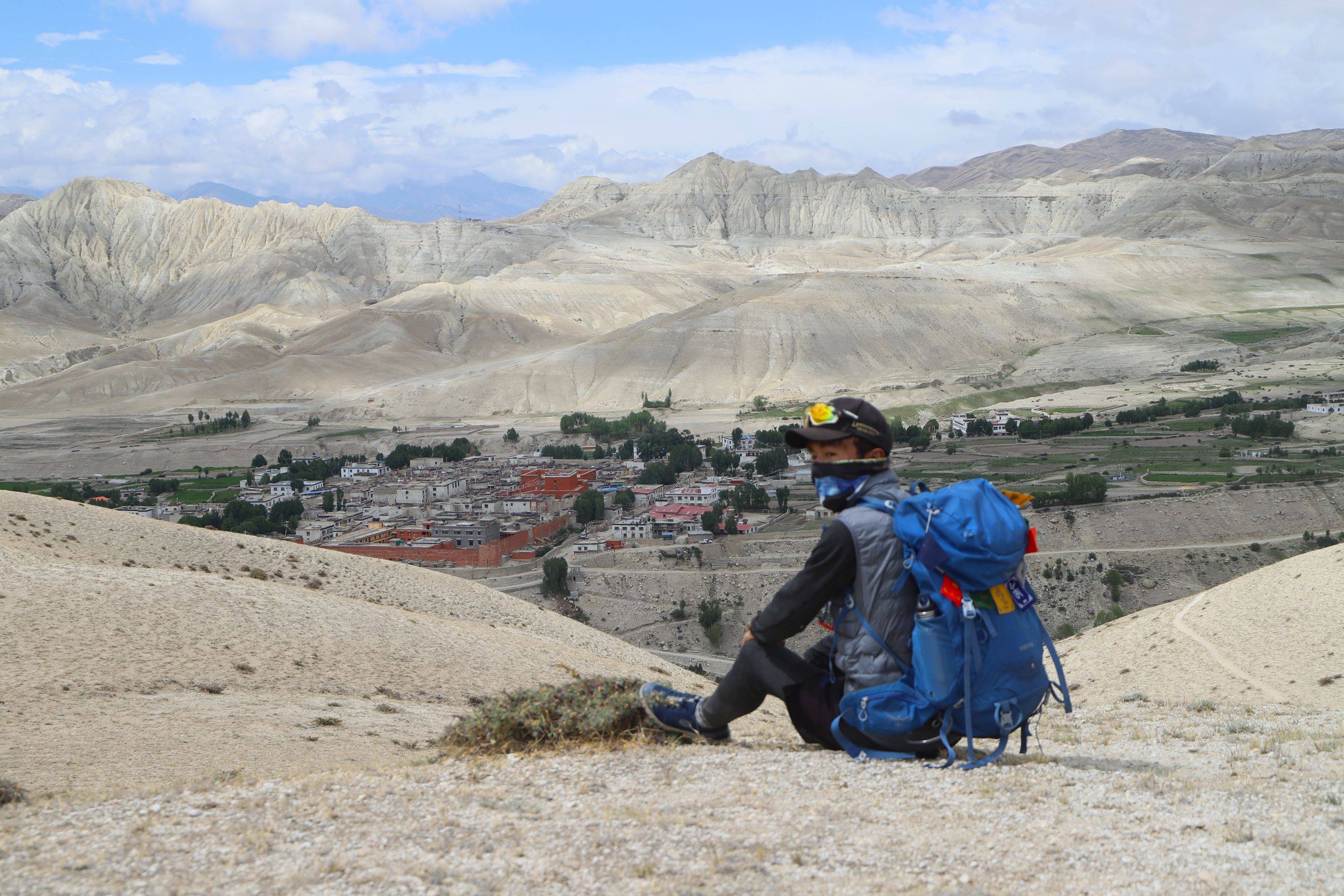
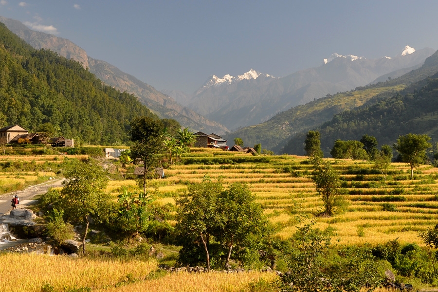
Our journey starts with a scenic flight about an hour from Kathmandu to Nepalgunj. Nepalgunj is located in western region of Nepal and is near to the Nepal – India border. It is also a gateway to Simikot and Humla. The town itself is an interesting Terai town that showcases the diverse culture of Nepal. In Nepalgunj, we can visit the local market, mini-zoo and nearby villages by our self. Overnight stay in Nepalgunj.


Early in the morning, we will take a first flight to Jumla. We leave the Terai plains of Nepalgunj and fly to the hilly landscape of Jumla. After about 20 minutes of scenic flight, we reach Jumla. Jumla is one of the least accessible districts in Nepal situated in the foothills of the Sisne Himalya. Jumla town is in a valley and their paddy is cultivated (making Jumla the highest place on earth where it is grown). The town is the administrative headquarters of the Karnali Zone. Jumla is also the gateway for trekkers who want to explore the remote Karnali region of Nepal. We will spend our overnight here.


On the first day of our trek, we have to ascend uphill and cross two suspension bridges above Himal River. We have to pass through a few villages before reaching Bumra. The Bumra village is also known as Nauri Ghat. Overnight at Bumra.


From Bumra, we ascend and cross the Ghurchi Lagna pass at 3480 m. We continue our ascent and pass through a few villages before reaching Bumra. The track beyond Bumra keeps high above the river and skirts two small spurs to reach Bhargaon (2890m) in one and half hours. After one kilometer at the end of the fields, the track turns north into the tributary stream of Ghautha Khola. We cross the stream by a log bridge to the west side and climb to Chautha (3100m) in a forest clearing. After an hour the valley opens out into a pleasant meadow. We keep to the left stream until a western tributary joins it. Before reaching Ghurchi Langna (3457m) we climb up the narrow gully on the north east slope and skirt north across a series of spurs to reach Pina (2430m). Overnight at Pina.


On the following day, we ascend steep trail to Gamagadhi. Gamagadhi is the headquarters of the remote Mugu District of Nepal. Overnight at Gamagadhi.


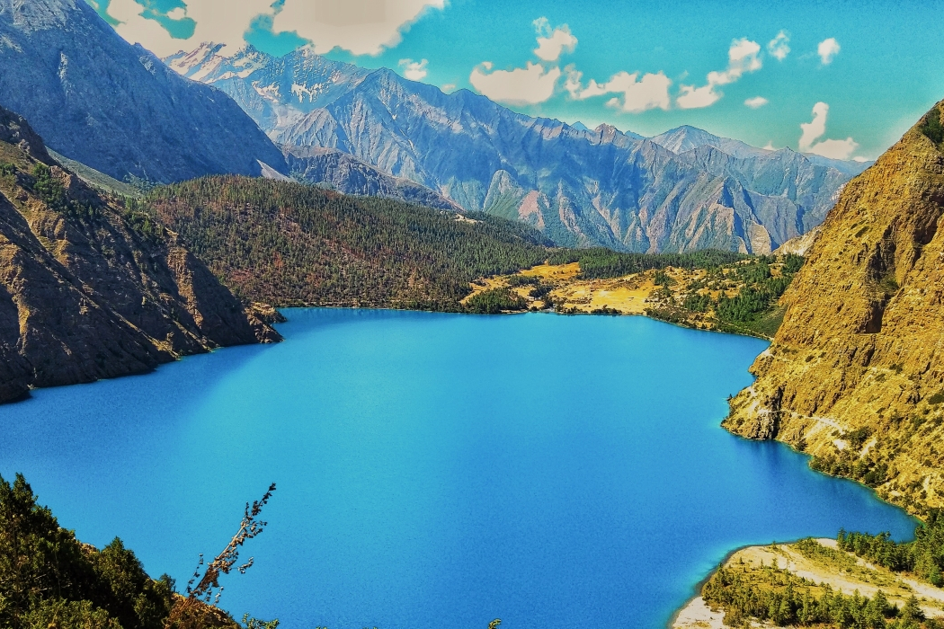
From Gamagadhi, our trail is easy and we walk on a relatively straight path until Rara Lake. We then follow the river upstream to Rara Lake, where we savor the most fascinating trekking experience amid the beauty of nature. Overnight at Rara Lake. Rara Lake is the largest freshwater lake in Nepal. Chuchemara Peak lies on the southern side of the Rara Lake whereas Ruma Kand and Malika Kand peaks frame its northern area. Overnight at Rara Lake.


Today is the day to explore the beauty of Rara Lake. After breakfast we investigate the azure waters of the massive lake also referred to as Mahendra Taal (Lake) after late king Mahendra. We have set aside this day to explore the area, including the old village of Rara. We can also climb up to the wooden observation tower behind the post office for fine views of the lake and surrounding hills. A visit to the National Park Headquarters is also an option. Swimming is allowed in the lake and it is piercingly cold and refreshing. This can be a perfect way for acclimatization. Or else you can have a short, pleasant trek with fine views to the north.


Leaving the vast and tranquil Rara Lake behind, we move forward towards Khatyar Khola Camp. The trail today is not as strenuous as it looks. We get to admire the Himalayan Panorama. After passing through a few villages including Murma. From Murma, the ascent gets a little easier. The trail further passes through bamboo and birch forests before crossing the Khatyar Khola where we will spend our overnight.


Today, after breakfast we walk the lake outlet (2980m) and follow the downstream of Khatyar Gad for about an hour. There is a log bridge over the stream below Murma (3139m). We have to cross the bridge to the south side and climb steadily over the 400 meters to reach an open clearing at 3277 meters. The trail continues climbing south through dense forest until the tree line is reached at 3658m. The ridge continues to south for another 200 meters but it is pleasant trail with distant view of the mountains. There is no pass on this high ridge and the trail turns south-east at an altitude of 3749 meters and descend by the east side of Chuchemara Danda. It is a fairly steep descent to Ghoro Singha. Overnight at Ghoro Singha.


The trail today is a descending trail until Laha alongside Ghatte Khola(stream). We descend through the steep pass for a while followed by a relatively easy trail until Botan (2895 m). A more interesting trail with better scenic prospect is to climb Diyabala Danda which is located south of Ghoro Singha. The climb begins immediately west of Ghoro Singha and takes about an hour through forest to top the crest at 5351 meters. The trail then skirts south-east above the high fields of Lumsa. There are good views to the south along the Sinja Valley. The trail then descends to Okharpati village (3100 m) on a high shelf above Mindrabali Gad. After descending for about two hours, we reach Sinja, our today’s destination.
Sinja Valley holds an important place in the history of Nepal. The valley houses the ancient capital city of the Khasa Kingdom that ruled this area from the 12th to the 14th century. Sinja valleys, highest human settlement of the world are major attraction of this trip. Trekkers enjoy the views of snow-capped Himalayan peaks. Palaces, temples, and the ancient remains of a settlement were uncovered during excavations spearheaded by the Department of Archaeology at Cambridge University.


Today, we have a twist and turn trail. We continue our trek along a rock-strewn path but it is a pleasant trail amidst forest wilderness. We cross the log bridge over Sinja Khola to the east and follow the south bank. Following the stream, we ascend the ridge. The trail clings to the south side of the stream all the way finally reaching to Chala Chaur where we will stay for the overnight.


Our trek continues along a rock-strewn path. We have a relatively straight trail until reaching Jaljala chaur, and then we ascend slowly until the Jaljala pass (3580 m).


On the last day of our trek, we follow our foot prints back to Jumla. The trail provides good views of the Jumla town. The return to the town is pleasant descent in slow stages. Overnight in Jumla.


Today, we fly from Jumla to Nepalgunj. After a tiring walk for 11 days, we will enjoy a pleasant and scenic flight to Nepalgunj where we will stay for overnight.


We take the earliest flight available to Nepalgunj from Kathmandu. After reaching Kathmandu, we freshen up and take a rest. Overnight in Kathmandu.
We take the earliest flight available to Nepalgunj from Kathmandu. After reaching Kathmandu, we freshen up and take a rest. Overnight in Kathmandu.


Discover incredible offers for your upcoming adventure by subscribing to our newsletter with the latest travel tips and updates.
